-40%
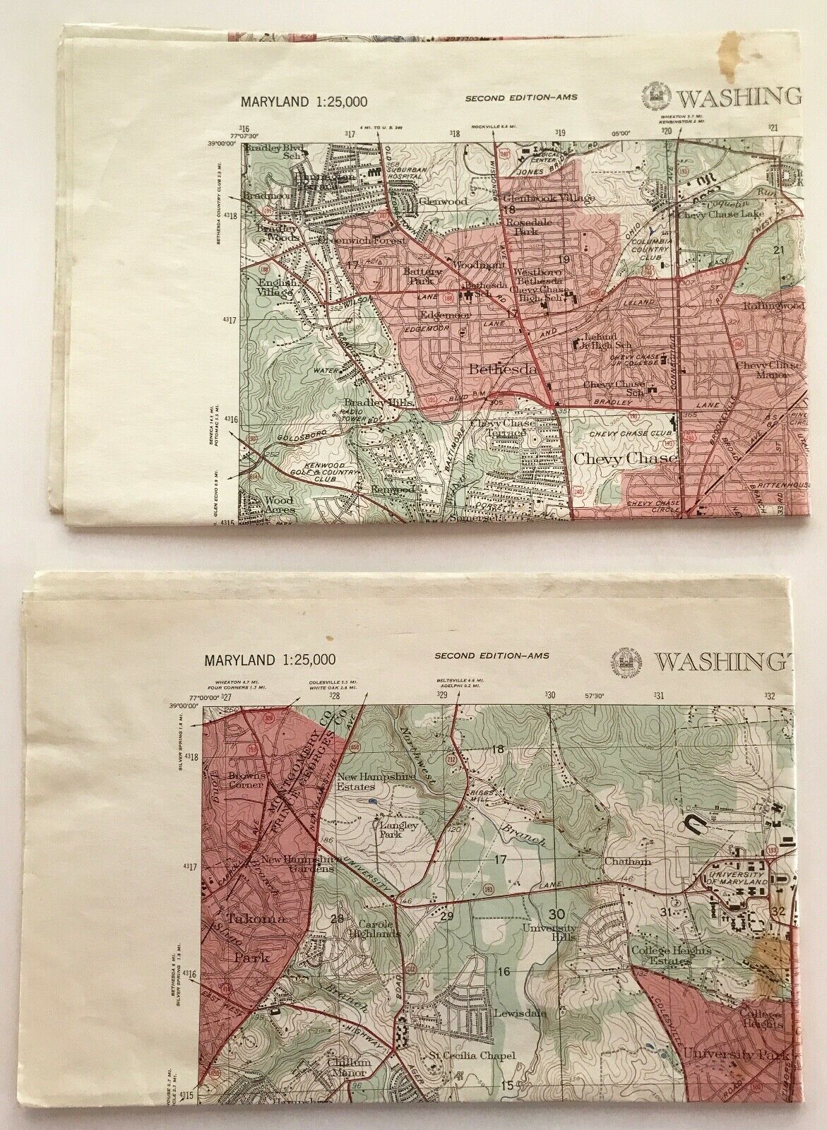
1956 Washington (D.C.) (AMS) East & West - 2 Military Maps & 2 Photo Maps
$ 26.4
- Description
- Size Guide
Description
Up for your consideration is a1956 Washington (D.C.) East & West - 2 Military Maps & 2 Photo Maps
. Both maps were prepared by the Army Map Service, Corps of Engineers, U.S. Army, Washington, D.C. Base data compiled in late 1940's. Military scale (1:25,000). Both are Edition 2 - AMS. Both printed in 1956. Both Photo Maps were prepared in 1953 fro photos taken in 1949. Colorful. Both measure 22" x 29". No writings or ink marks. No crease tears. creases. Some brown spots. Scarce items.Overall maps are in Good condition. Great addition to your Washington, D.C./Military/Cartographic collection.
